






explore the great outdoors in Shropshire
Navigate our interactive map
Explore the map
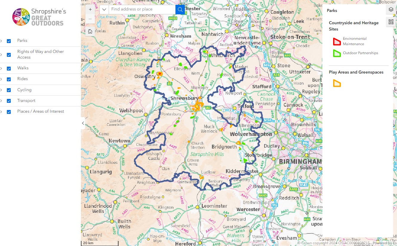
The interactive map is a great way to see where you can access Shropshire’s Great Outdoors!
It shows walking, cycling and riding routes, Rights of Way, parks, sites and play areas, and other areas of interest in Shropshire, some of which are managed by Shropshire Council and some by other partners. You can use the map to view these ‘layers’ on their own or mix and match them to see where they meet. You can view at a county level to decide on an activity for the day, or zoom right in to see what’s on your doorstep.
Map Layers
The map layers, on the left hand side of the screen, show the categories you can view, such as walking routes. Please click through these to see the extent of the categories, select the arrow to the left of the category to create a drop down. You have the ability to turn each of these different layers on and off and have multiple layers on at any one time. This is done by placing a tick in the check box.
If you click on the features on the map a box will come up that describes what the feature is, with a link to the appropriate page on the website where relevant.
Explore unspoiled Shropshire

How to use the interactive maps
Moving around the map
There are two ways in which you can change your view of the map. Firstly, you can zoom. If you want to zoom in (+) and out of the map (-) you can use the zoom scale bar. The nearer you are to the (–) the more area you will see.
In addition, if you hold the shift key down on the keyboard and draw a box around the area you require preferably starting at the top right of the box you will zoom to that area.
Secondly, you can use the ‘pan’ tools. If you need to shift the map in a North, South, East or West direction you can do this using the map controls. You can also simply ‘pan’ around by clicking on the map, holding and moving the mouse and then releasing the mouse when you are at the location you require.